Catchments are used to capture rainfall events and route the runoff that doesn't infiltrate into the ground, into the stormwater system. The first step is to ensure that the CAD layer is "St_Catchment_Tables" is visible(check-box ticked) in the GIS layer explorer on the left . The following step is to delineate the catchment using the 'Add Catchment' tool  .
.
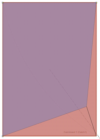
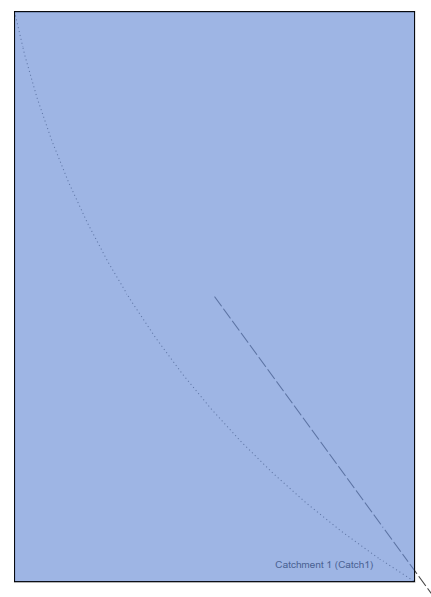
Click on the icon and then click on each of the catchment vertices in succession to form the catchment polygon. Once the last vertex has been selected, right click to terminate the draw process. Repeat this process for the remaining catchments. The catchments should all be a light blue-grey once complete.
The next section will detail how to refine the properties of the model entities to match the values shown in the CAD drawing as well as adding some additional information.