The CAD and GIS main menu items contain all the basic functions of the Albion CAD/GIS environment, in which most of the user interaction in HydroSWMM can take place. These modules are very similar to and compatible with regular CAD/GIS program and offer 90% plus of the draughting and GIS functionality available. The HydroSWMM CAD/GIS capability has been extended to assist you in capturing system data.
HydroSWMM models are created and managed in a geospatially accurate CAD/GIS environment (Albion). When the program starts up a default blank drawing (such as below) is made active, with X-Y-Z (World) coordinates.
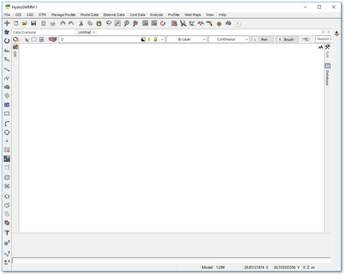
This blank drawing can be used to capture/edit the model, if the correct coordinates of each junction and vertex in the model layout are known. But in almost all cases, the model will be created/captured on a backdrop of geospatially accurate cadastral (town layout) information, with or without as-built information on the system layout, or on a geospatially accurate aerial photo image.