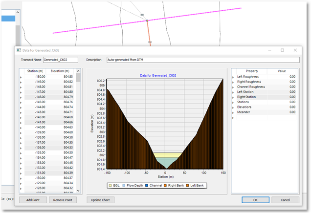
This function uses a DTM to determine the cross-sectional profile of selected irregular conduit types (i.e. a natural water courses).
The upstream node is taken as a central point and then spot heights are taken perpendicular to the conduit flow direction. Heights are measured every meter. These points are plotted as GIS points.
The generated cross-section (shown below) can be viewed by right-clicking on the conduit and then going to Edit Conduit > Edit Section
Note: The DTM needs to be of good quality to make use of this feature.